Drone LiDAR Services
AeroVision combines state-of-the-art technology with industry expertise to deliver unmatched results.
Inspections using LiDAR Technology
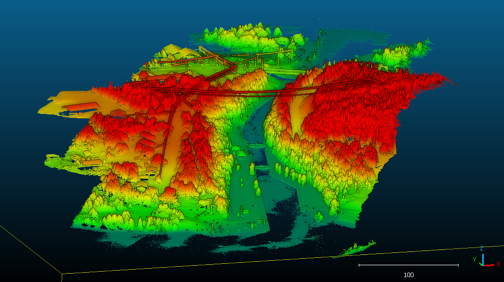
Light Detection and Ranging (LiDAR) uses laser pulses to measure distance and create accurate 3D maps of the environment. Drones equipped with this technology capture information about the topography, structure, and vegetation of an area, making it an invaluable tool for a variety of industries.
Drone LiDAR Services
Collapsible content
How accurate is LiDAR technology?
Drone LiDAR offers exceptional accuracy, capable of detecting small changes in elevation and vegetation density, making it ideal for precision mapping.
How does Drone LiDAR improve safety?
By eliminating the need for manual surveys in hazardous areas, Drone LiDAR enhances worker safety while maintaining data quality.
How quickly can Drone LiDAR surveys be conducted?
Drone LiDAR surveys are much faster than traditional methods, covering large areas in a short time while maintaining high data resolution.
Is Drone LiDAR cost-effective?
Yes, Drone LiDAR reduces the need for manual labor and ground-based equipment, offering a cost-effective solution for data collection.

Drone LiDAR Applications
In construction, LiDAR drones are used to create highly detailed topographic maps of sites, allowing engineers and architects to design buildings and infrastructure that are better suited to the terrain.
In mining, LiDAR drones are used to survey the land and identify potential hazards, such as unstable slopes or rockfalls.
For forestry applications, LiDAR drones are used to identify the density and height of trees, which helps to plan harvesting operations and manage forest health.
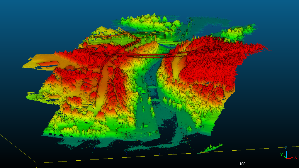
Power line modelling
LiDAR sensors generate precise, high-resolution 3D models of the terrain and power line infrastructure, which can be used to detect potential issues like vegetation encroachment or structural damage. These models are used to plan and optimize maintenance and inspection operations.
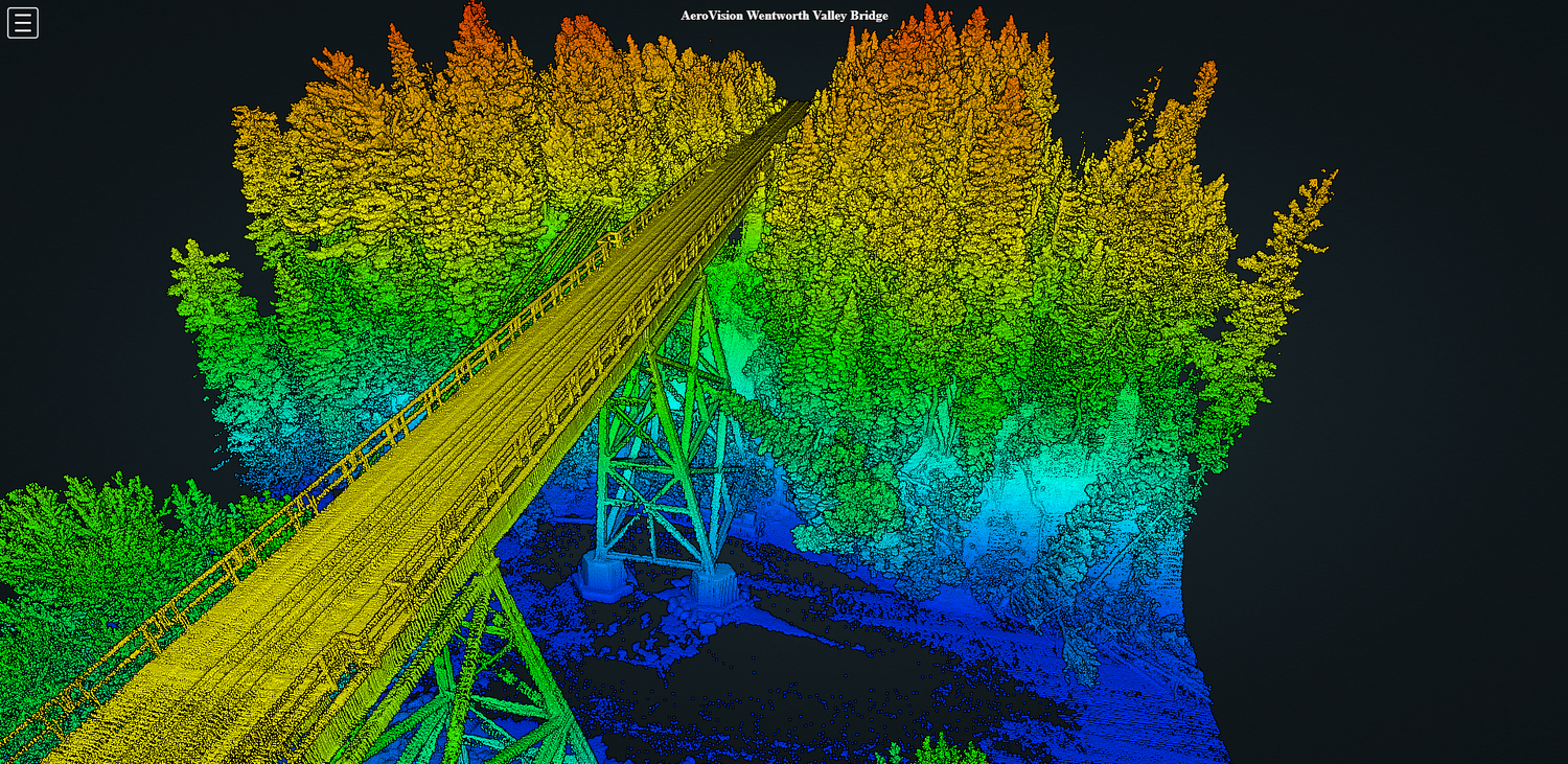
Vegetation Encroachment Assessment
Vegetation encroachment is a common issue for maintenance of utilities like power lines. With LiDAR data, it is possible to create accurate 3D models of the environment, which can be used to identify potential vegetation encroachment issues before they become a problem. This information can then be used to plan vegetation management and pruning activities more effectively, reducing the risk of unplanned service outages and other issues.
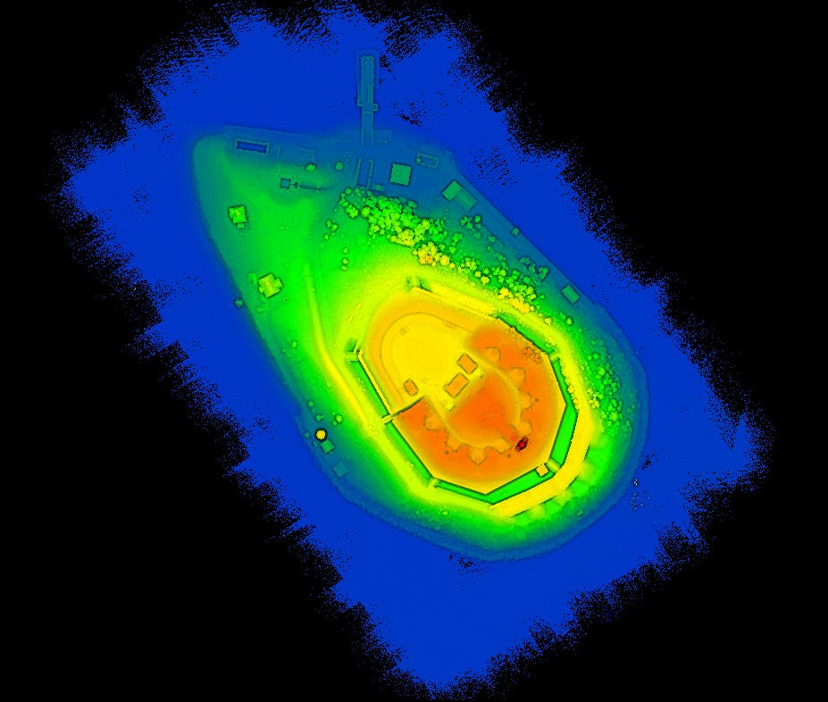
Improve Reporting Accuracy
LiDAR technology delivers a highly precise, real-time 3D model of your assets, giving you the most up-to-date visual available. This data equips engineers and inspectors to confidently plan maintenance, identify risks, and strategize expansions. The result is faster decision-making, fewer surprises, and greater operational control.
Ready to call in Air Support?
Contact us to learn why AeroVision Canada is trusted by our industry partners and clients.
