News & Updates from AeroVision
How LiDAR Drone Services are Revolutionizing Industrial Inspections
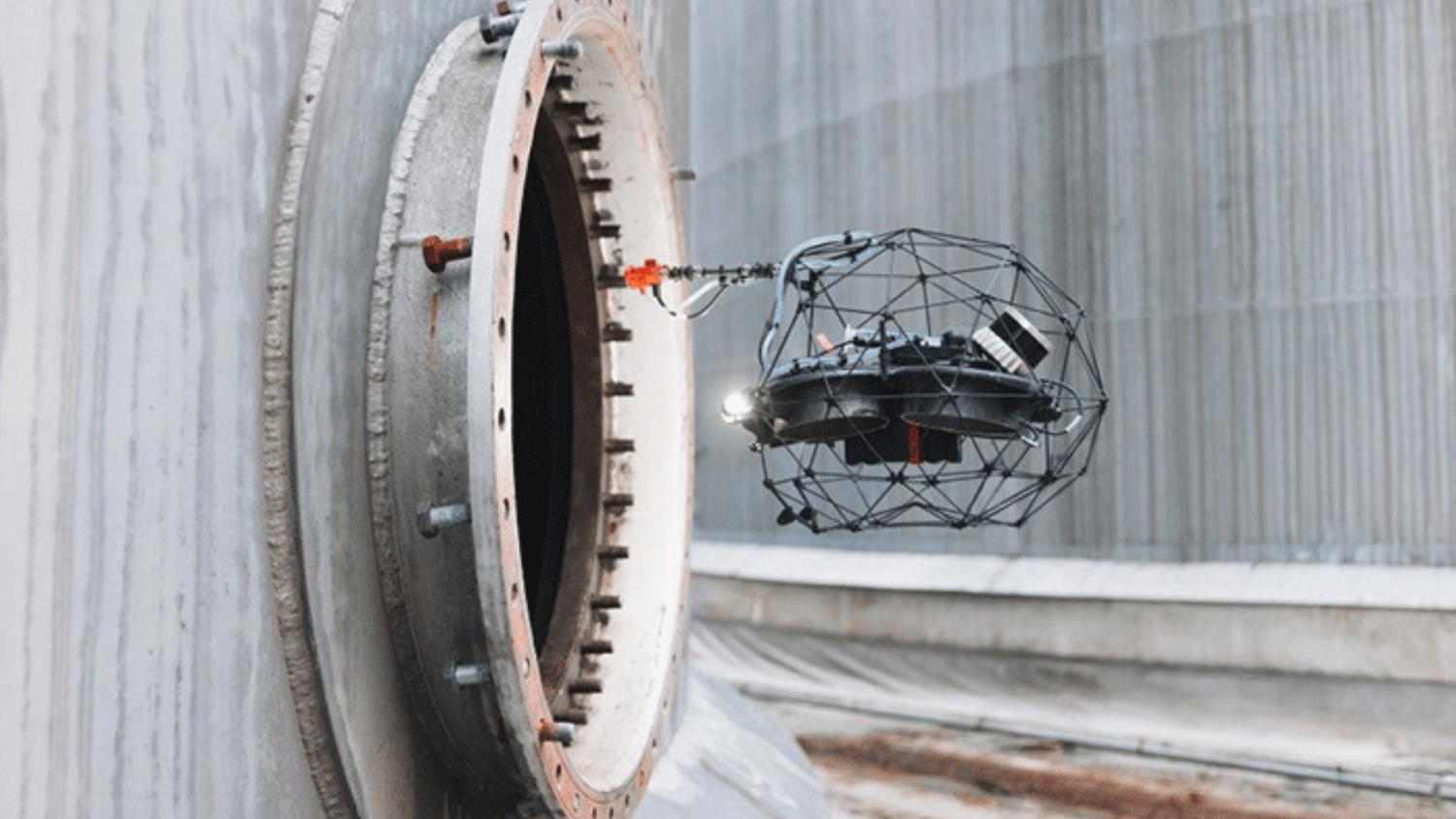
Confined space inspections are an important yet hazardous duty in industrial maintenance and asset management. Traditional methods involve inspection personnel physically entering hazardous locations, where they are exposed to toxic gasses, low oxygen levels, severe temperatures, and the rare but real threat of structural collapse. Thankfully, the way these inspections are carried out is changing due to developments in drone technology, especially with Light Detection and Ranging (LiDAR) drone units.
-

Elios 3 Drone Enhances Confined Space Inspectio...
In this post, we’ll explore how cutting-edge technology like the Elios 3drone allows us to transform the safety of confined space inspections for the better. Confined space inspections are a...
Elios 3 Drone Enhances Confined Space Inspectio...
In this post, we’ll explore how cutting-edge technology like the Elios 3drone allows us to transform the safety of confined space inspections for the better. Confined space inspections are a...
-
Transport Canada: Exciting Changes with New BVL...
Transport Canada has announced groundbreaking changes to Beyond Visual Line of Sight (BVLOS) regulations, set to take effect in the fall of 2025. Previously, all BVLOS operations required a case-by-case...
Transport Canada: Exciting Changes with New BVL...
Transport Canada has announced groundbreaking changes to Beyond Visual Line of Sight (BVLOS) regulations, set to take effect in the fall of 2025. Previously, all BVLOS operations required a case-by-case...
-

How LiDAR Drone Services are Revolutionizing In...
Discover how LiDAR drone services are revolutionizing industrial inspections by enhancing safety, reducing downtime, and providing precise data. Learn how AeroVision’s cutting-edge LiDAR drone technology streamlines confined space inspections, minimizes...
-
Canada Advances Drone Traffic Management with P...
AeroVision Canada, ANRA Technologies, and ClearSky Connect to Lead Evaluation to Integrate Air Traffic Management for RPAS Operations. Halifax, Nova Scotia, TBD, 2024 – A consortium led by AeroVision Canada...
Canada Advances Drone Traffic Management with P...
AeroVision Canada, ANRA Technologies, and ClearSky Connect to Lead Evaluation to Integrate Air Traffic Management for RPAS Operations. Halifax, Nova Scotia, TBD, 2024 – A consortium led by AeroVision Canada...


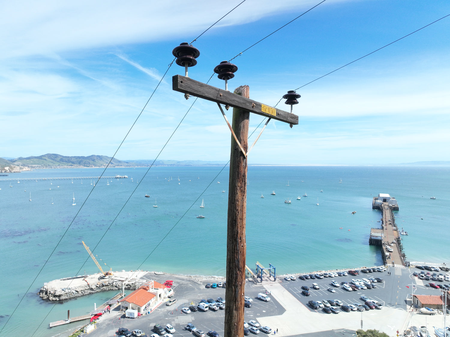
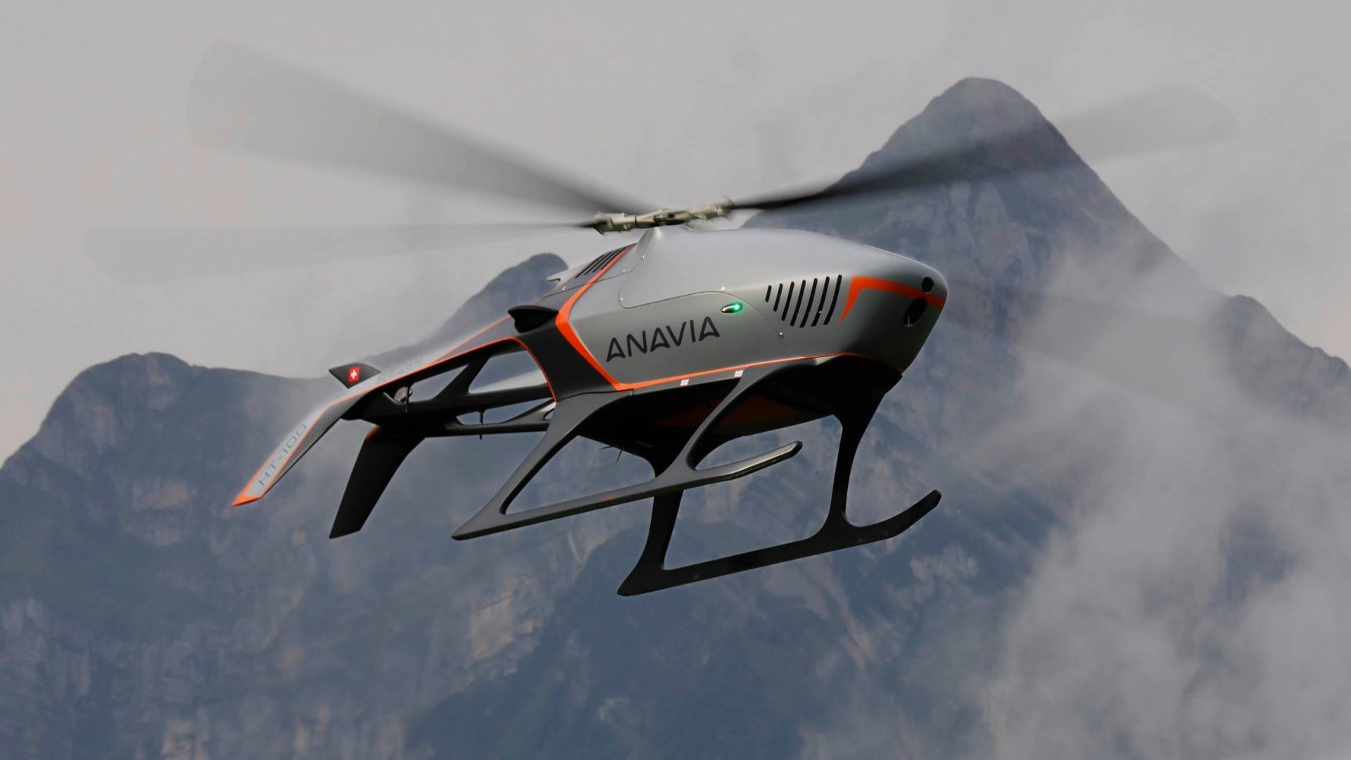
Electrical Inspections
Using drones for powerline inspections is transforming the utility industry by providing a safer, more efficient, and cost-effective solution for inspecting power infrastructure. By utilizing drones, utilities can improve the reliability of their power grids, reduce downtime caused by equipment failures, and provide better service to their customers.
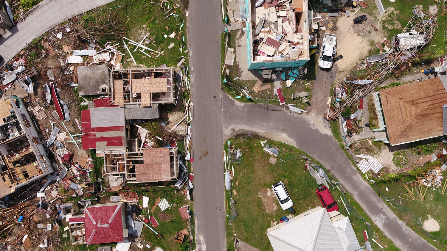
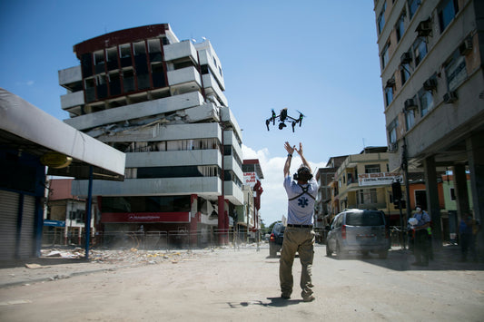
Disaster & Emergency Response
Drones create a detailed, time-stamped historical record of the scene's evolving state, capturing vital information throughout the operational period. This data supports next-day planning by offering insights into previous actions and informing future strategies. It also serves as a key resource for after-action reports, enabling thorough analysis of response efforts and identifying areas for improvement.
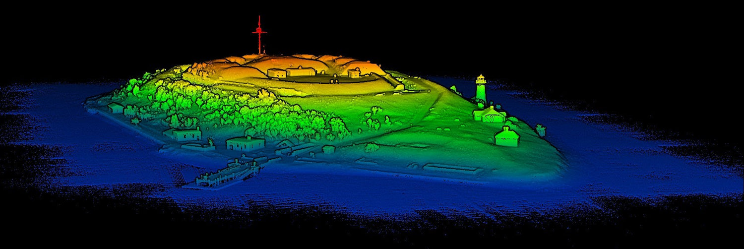
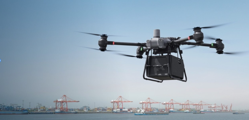
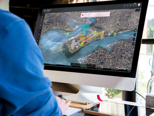
Aerial & Terrestrial LiDAR
LiDAR offers exceptional accuracy, capable of detecting small changes in elevation and vegetation density, making it ideal for precision mapping. By eliminating the need for manual surveys in hazardous areas, Drone LiDAR enhances worker safety while maintaining data quality.
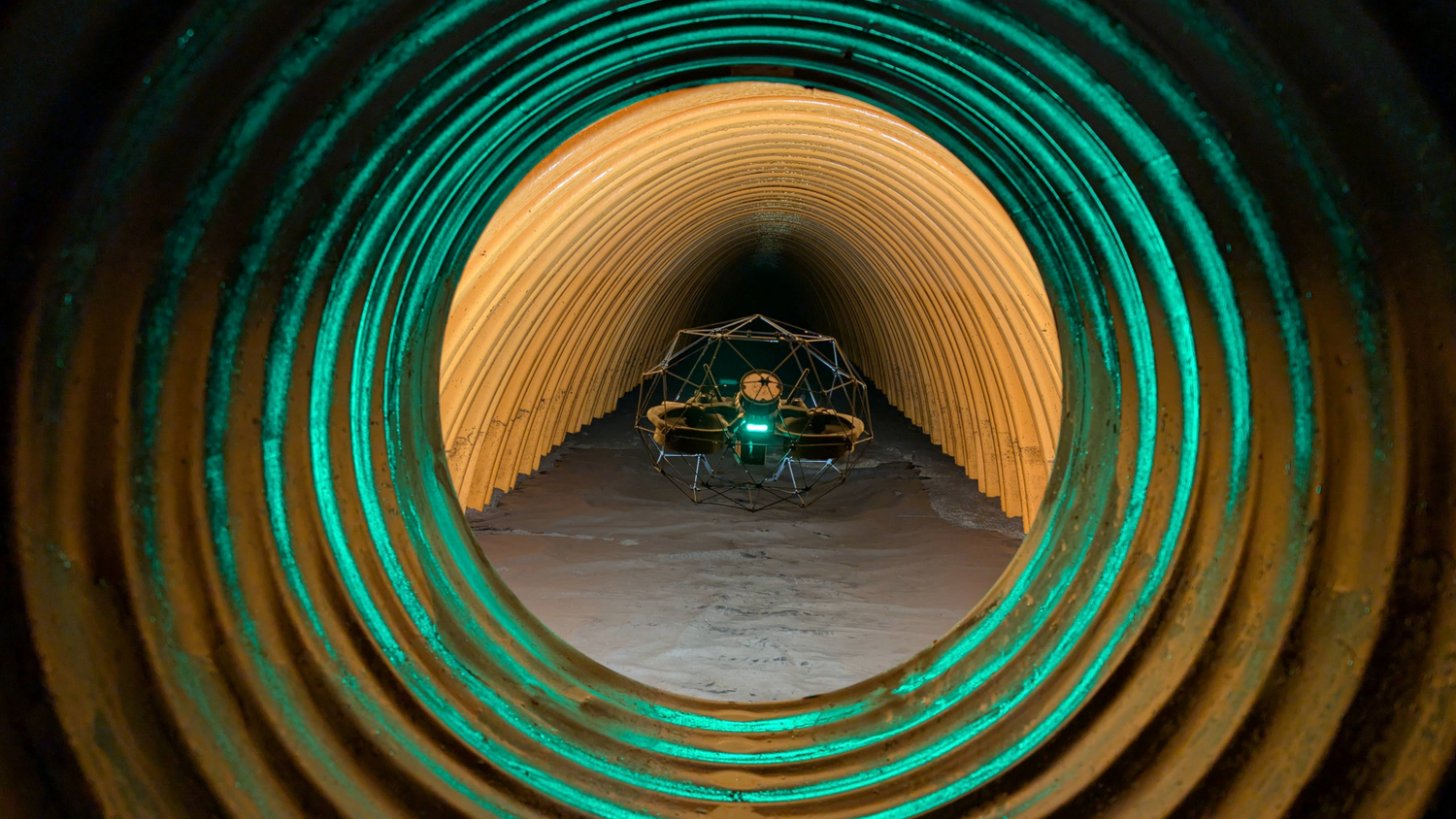
Remote Confined Space Inspections
While a confined space drone may not be suitable to replace all aspects of the confined space environment, it can help provide preliminary visual inspections more quickly, at a lower cost, and with significantly lower risk.