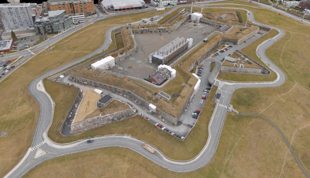
Drones have revolutionized the field of mapping and 3D modelling by providing a new level of precision, efficiency, and flexibility. With the ability to capture high-resolution images and data from above, drones are quickly becoming an essential tool for professionals in the Reality Capture industry.
Reality Capture refers to the process of using various technologies such as 3D scanning, photogrammetry, LiDAR, and structured light scanning to create a digital representation of physical objects or spaces. This digital representation can be used for various purposes, such as creating virtual reality experiences, generating 3D models, conducting simulations, or creating digital maps.
In simpler terms, reality capture involves using technology to capture real-world data and convert it into a digital format. This can include taking photographs, scanning objects, or using laser technology to create a 3D model of a space or object.
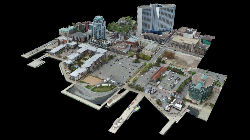
The resulting digital model can be used in various ways, such as to explore a space in virtual reality, to create accurate measurements of a physical object, or to generate realistic visualizations of real-world environments. Additionally, we are able to provide deliverables such as:
- Geo-referenced Orthomosaics
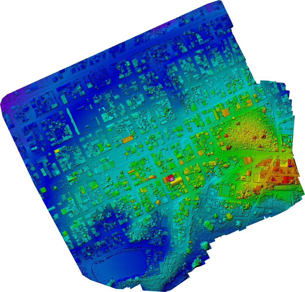
- Digital Surface Models (DMS)
- Digital Elevation Models (DEM)
- Stockpile Volumetrics
- Point Clouds
- 3D Models