Infrastructure Inspections
View large and complex civil infrastructure assets at close range and, in most cases, keep the job site fully operational to avoid inconvenience due to closure.
Drones in civil engineering are the best alternative to traditional methods of infrastructure inspection, and never compromise information quality.
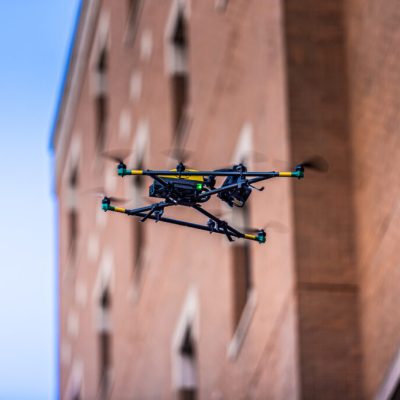
The use of drones, advanced visual sensors, and LiDAR ensure a safe, accurate, and in-depth aerial inspection of infrastructure, no matter its size or height, providing information beyond the capabilities of everyday cameras or mapping tools.
- Monitor roadways and highway damage due to environmental impact and natural erosion.
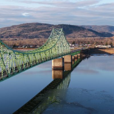
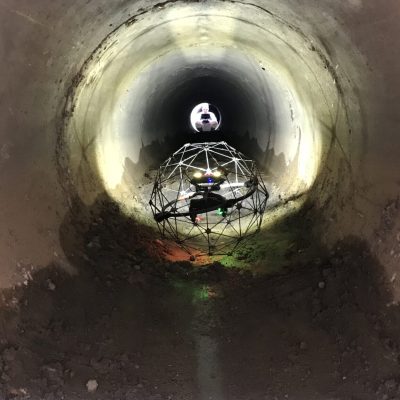
- Maintain bridges, dams, tunnels, buildings, and other critical infrastructure to help reduce the cost of on-demand maintenance, all the while ensuring public safety.
- Inspect and assess damage to assets and infrastructure for repair purposes.
- View seaports, canals, and waterways in superior detail and accuracy.


